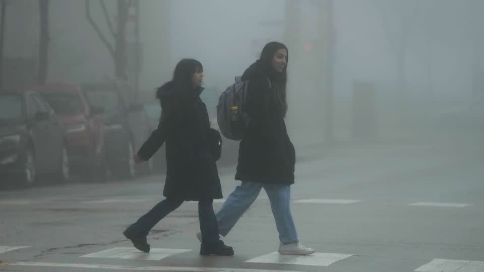
Stuck in a fog? It’s not just you, it’s been record foggy in the US
Impacted by dense fog Thursday morning? So were over 90 million others across the continental United States.
Dense fog alerts were so extensive nationwide that they reached record levels for the third consecutive day. The alerts are issued by the National Weather Service when widespread fog is expected to drop visibility levels to a quarter mile or less for at least two hours.
Fog alerts stretched from the Canadian border to the Mexican border and reached as far east as the Northeast just after daybreak Thursday. A few alerts were also active along the West Coast.
In total, these alerts encompassed more than 1,500 National Weather Service forecast zones – areas that can be smaller than a county the weather service provides specific forecasts for.
Tuesday, Wednesday and Thursday were three of the foggiest days in terms of forecast zones covered since in nearly two decades, according to Daryl Herzmann, a meteorologist and systems analyst with Iowa State University. The data used for this dense fog alert analysis dates to October 2005, Herzmann told CNN.
The fog is unfolding in the wake of a week featuring ice, snow, rain and a dramatic warmup for much of the US that’s making some areas feel more like March than January.

Rain and melting snow are evaporating due to the influx of warm-for-January air across the country. This evaporation is overloading the air near the surface with moisture. When the air can’t hold any more moisture it condenses into tiny water droplets that take the visible form of a cloud – and clouds right at the surface are called fog.
Winter has become the fastest-warming season for nearly 75% of the US as global temperatures rise because of human-caused climate change. Warmer than normal temperatures are also a hallmark of El Niño across a large portion of the US.
For more CNN news and newsletters create an account at CNN.com

