Midwest snow map upside down as buds, spring allergies emerge in Minnesota
 |
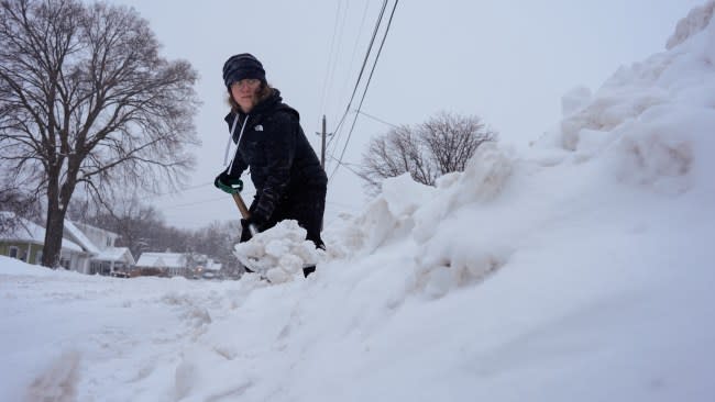
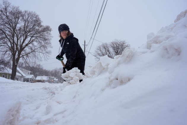
Graphic designer Emily Brewer shovels out her driveway in order to drive to work in Sioux City, Iowa, early on Friday, Jan. 12, 2024. (AP Photo/Carolyn Kaster) |
The snow map has been turned upside down in the Midwest United States this winter, with most of Minnesota in a snow drought while areas from Wichita, Kansas, to Sioux City, Iowa, have been unusually snowy.
Lack of snow and general warmth have caused more than a dozen winter festivals to be canceled in Minnesota. In Edina, trees are budding, and the spring allergy season has started early. Wichita has counted 14.3 inches of snow so far this season, but Minneapolis has received a paltry 7.2 inches, about 2 feet below their normal historical average by this time of year. The city has not had a day of snow over 1 inch since Halloween and no snow at all has fallen in Minneapolis since Jan. 13. Even Nashville, Tennessee, has accumulated more snow, at 7.6 inches, than Minneapolis has this winter at 7.3 inches.
Here's a look at just a few locations who have measured more snow than Minneapolis/St. Paul this winter (7.3"). Yes, even parts of Arkansas, Tennessee and Mississippi have seen more snow than parts of Minnesota. pic.twitter.com/ADfdMHvXsJ
— NWS Twin Cities (@NWSTwinCities) February 2, 2024
It's not just Minnesota that's having an early spring. Much of northern Wisconsin and Michigan and parts of the Ohio Valley have received very little snow this winter, as warm air has been abundant. Flowers have bloomed in Layfayette, Indiana, due to high soil temperatures, nearly a month ahead of schedule.
Despite a couple of snowstorms in January, there is little snow left east of the Rockies. Snow cover for Feb. 7 is at a record low since records began in 2003, according to NOAA. Most of the East is still below normal for snowfall year-to-date. New York City is 14.4 inches down; Boston is 18.3 inches under average. Marquette, Michigan; Erie, Pennsylvania; and Syracuse, New York; favored lake-effect snow belts, are more than 50 inches below normal.
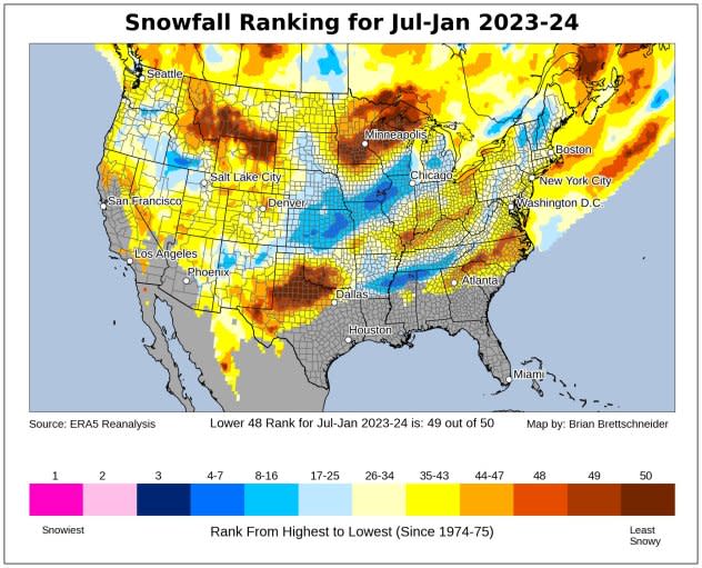
When combined, all those deficits in the continental U.S. make it the second least snowy season since 1974, according to Climatologist Brian Brettschneider. In Alaska, the opposite is true with both Anchorage and Juneau nearly 50 inches above their historical averages thus far into the season.
 |
How snowy was it so far this winter? This map by Brian Brettschneider shows the ranking of this winter, from snowiest (#1) to least snowy (#50). |
Will the snow drought in the Midwest improve soon? AccuWeather Meteorologist Marshall Moss says probably not.
"A couple of weak storms will move through next week," Moss explained. "But there is not likely to be more than snow showers with them. There is the potential for a storm to bring accumulating snow at the end of next week or the start of next weekend. This will bear watching over the next week; check back with AccuWeather to follow the progress of this storm."


