
Long-running storm to dump 50 to 80 cm on much of Newfoundland over multiple days
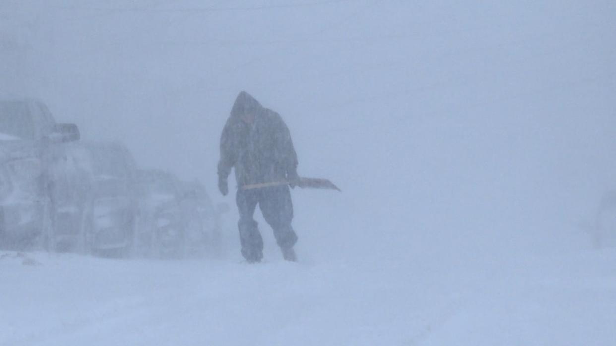
A snowstorm is expected to hit parts of Newfoundland on Thursday evening and last until Saturday morning. (Meg Roberts/CBC)
A winter storm is expected to drop as much as 80 centimetres over parts of Newfoundland over 48 hours, with Environment Canada toughening its expectations of what the storm will deliver.
Environment Canada has all of southern and eastern Newfoundland under weather warnings Thursday, with the northern Avalon Peninsula, which includes metro St. John's, expecting between 50 cm to 80 cm of snow in a storm that will last into Saturday morning.
"Speaking from experience, this is the kind of snow you don't wait for it to finish," said Savio Paul, a meteorologist at Environment Canada's Gander weather office.
"You'll have to keep up with it a little or you're just going to break your back."
He said snowfall is expected to start in Port aux Basques Thursday morning before moving eastward toward the Avalon Peninsula in the afternoon.
The southern areas of the Burin and Avalon peninsulas will see a changeover to ice pellets and freezing rain in the evening before it changes back to snow on Friday.
"So the St. John's metro area, especially the Southern Shore, will be seeing ice pellets tonight as well," Paul told The St. John's Morning Show Thursday morning.
In other areas that precipitation will fall as snow, he said.
The Burin Peninsula is expected to get 30 to 50 centimetres, he said. There will also be a few hours of freezing rain over the southern sections of the Burin and southern Avalon.
For the Connaigre Peninsula, he said there will be 30 to 45 centimetres of snow throughout the next few days.
Winds will not pick up until Friday, he said, but in areas like St. John's there might be gusts reaching 70 to 80 kilometres an hour on Friday. "That's something to keep an eye on," he said.
Be prepared
Paul said temperatures will be moderate, which will make the snow heavy and sticky. "By the time you get to Friday night, you'll get to see them blowing around," he said.
He suggested people don't wait for the snow to finish falling before tackling shoveling out. "Don't let it pile up," he warned.
In anticipation of the winter storm he also advised that people have their snowblower gassed up and have a 72-hour emergency kit prepared with essentials.
In an earlier forecast, Environment Canada said an estimated 50 centimetres of snow could be dumped over parts of Newfoundland.
Paul said there are also some uncertainties in the forecast, saying it could change depending on certain factors like whether the warm front moves further north which could mean less snowfall but more ice pellets.
"This is a tricky system to forecast, for sure."
Download our free CBC News app to sign up for push alerts for CBC Newfoundland and Labrador. Click here to visit our landing page.

