
Google has not removed 'Palestine' from maps amid Gaza war
Google has once again refuted a false online claim that it "removed Palestine" from its maps of Gaza and the West Bank, as the war between Israel and Palestinian militant group Hamas raged on. The claim resurfaced in June 2024 as the war, triggered by Hamas's October 7 attack, revived a global push for Palestinians to be given a state of their own.
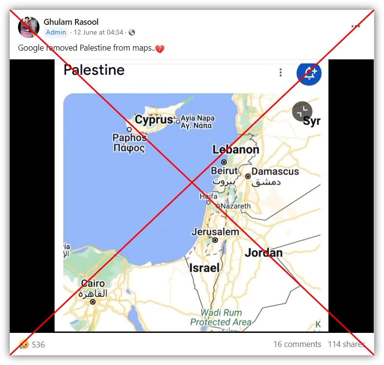
"Google removed Palestine from maps," read the caption alongside a video posted on June 12, 2024 in a Facebook group with more than 328,000 members.
The clip -- which has had more than 14,000 views -- appears to show a screen recording of a search for "Palestine" on Google.
A map in the results is centred on Israel, Lebanon and Jordan, and dashed lines mark the Palestinian territories of the Gaza Strip and the West Bank.
According to Google, dashed grey lines denote disputed boundaries (archived link).
Similar false posts were also shared on Facebook here and here; and by users based in the Philippines, Kenya and Saudi Arabia.
The claim -- which AFP first debunked in July 2020 -- resurfaced as the war in Gaza revived a global push for Palestinians to be given a state of their own.
The majority of UN member states recognise Palestinian statehood -- they include most Middle Eastern, African, Latin American and Asian countries, but not the United States, Canada, the majority of western Europe, Australia, Japan or South Korea.
The war was triggered by Palestinian militant group Hamas's unprecedented attack on southern Israel on October 7, 2023 that resulted in the deaths of 1,195 people, mostly civilians, according to an AFP tally based on Israeli figures.
Israel's retaliatory military offensive has killed at least 38,200 people in Gaza, also mostly civilians, according to the health ministry in the Hamas-ruled territory.
No change
A spokesperson for Google told AFP in an email on July 9, 2024 that it had not changed how "Palestine" is depicted on Google Maps.
They said a search for "Palestine" on Google Maps would show a map of the area with labels for the West Bank and the Gaza Strip but -- since there is no clear consensus across international bodies on its territories -- they could not reliably show and label its borders at this time.
They also said that Google was committed to objectively displaying disputed territories on its maps, which it does by consulting data from global cartographic authorities and displaying any disputed borders as a dashed grey line.
Christine Leuenberger, a senior lecturer at Cornell University who specialises in the history and sociology of cartography in Israel and the Palestinian territories, told AFP in an email on July 21, 2020 that "the word Palestine would not have ever been on these maps -- at most the terms West Bank and Gaza".
"On maps, the name 'Palestine' is usually associated with historic Palestine before the establishment of the Israeli state and is not used in mainstream news outlets in the West," she said.
"Usually the Palestinian territories are indicated through the delineation of a broken demarcation line, which connotes disputed territory and the territories (of Gaza and West Bank) remain nameless. Alternatively, the territories are represented with such broken delineation lines and are also labelled 'West Bank' and 'Gaza'."

