Extreme heat, humidity to swelter southern US through Tuesday
Following a relentless spring with round after round of drenching thunderstorms and flooding problems in some areas, hot and humid conditions will continue to build over much of the south-central and southeastern United States beyond Memorial Day. AccuWeather meteorologists say the heat will be extreme for so early in the season.
Hot and humid conditions are a way of life in much of the South during the summertime, and they are fitting for the first "unofficial weekend of summer," but the atmosphere's flip of the switch may be tough on some people in the region.
Since the middle of April, many areas from northeastern Texas to northern Florida and southern Alabama have received double-digit rainfall. The rain pushed streams and some rivers out of their banks and caused water to pool in areas not typically seen.
 |
The frequent rounds of downpours and clouds tended to cap temperature surges in most areas except for the Florida Peninsula and South Texas, where storms were largely absent, but the heat has been no stranger through much of the spring. Historical average temperatures continue to trend upward into the middle of the summer but have already been running a few degrees above average despite the rainy conditions.
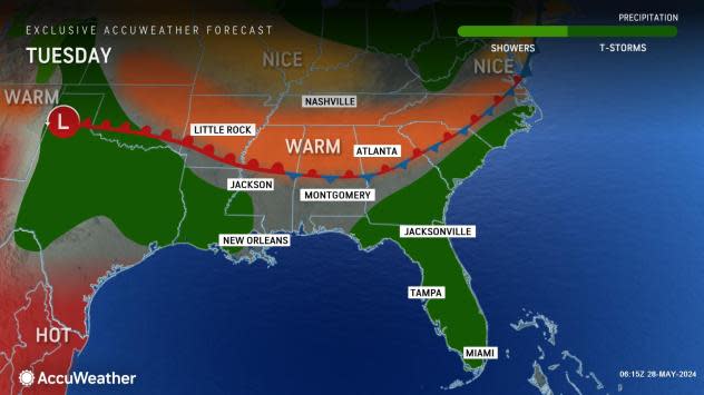
As an area of high pressure continues to build over the eastern Gulf of Mexico and the Florida Peninsula, sinking air associated with the system will result in sparse cloud cover. This will allow intense late-May sunshine to expand and bake areas from southern and central Texas to much of Florida, South Carolina and Louisiana, as well as the southern and central portions of Mississippi, Alabama and Georgia.
Widespread highs well into the 90s are in store for these areas through at least Tuesday, which will trend 5-10 degrees above the historical average. In some cases, daily record high temperatures will be challenged.
 |
On Monday, temperatures came close to the daily record of 97 degrees in Houston, set in 1973, and the daily record of 94 degrees in New Orleans, set in 2012. Temperatures reached 98 degrees in Austin and 99 in San Antonio, approaching records at both locations. In the lower Rio Grande Valley, temperatures have consistently peaked near or just above 100 in recent days.
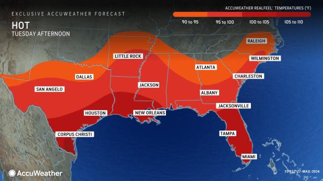
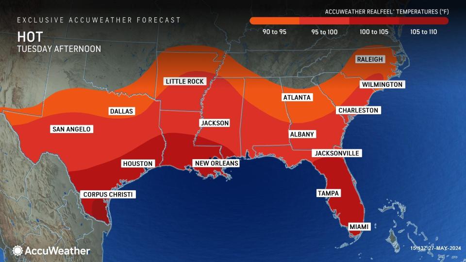
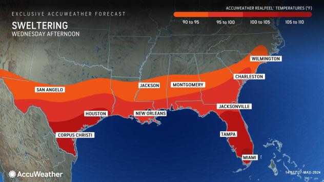
The combination of intense sunshine, high humidity and other factors will push AccuWeather RealFeel® Temperatures well above 100 degrees, and in some cases, they may even reach 110 during the midday and afternoon hours. At this level, the risk of heat exhaustion or heat stroke increases dramatically.
The extreme heat will linger along much of the Interstate 10 and 20 corridors into midweek.
 |
Experts urge people to avoid strenuous activity during the hottest part of the day and to seek an air-conditioned environment if access to water, such as a pool, lake or beach, is not available. For those seeking relief at the beaches, water temperatures over much of the Gulf of Mexico are well into the 80s and well above the historical average, which could be an omen for the hurricane season to come.
The surging heat and pools of water left behind will be a perfect breeding ground for mosquitos and other insects. Property owners are urged to check for areas where water may have collected, such as in old tires and containers that may be lying around. Mosquitos require a pool of stagnant water to multiply, according to the U.S. Environmental Protection Agency (EPA).
Want next-level safety, ad-free? Unlock advanced, hyperlocal severe weather alerts when you subscribe to Premium+ on the AccuWeather app. AccuWeather Alerts™ are prompted by our expert meteorologists who monitor and analyze dangerous weather risks 24/7 to keep you and your family safer.


