

Baby, it’s cool outside: Cold front to lower temperatures in peninsular Malaysia until January, say weather experts
KUALA LUMPUR, Dec 25 — Malaysia is set to experience an unexpected spell of cool weather, with climate experts predicting a drop in temperatures that could extend until next month.
News portal The Star reported today that according to National Antarctica Research Centre meteorological expert Prof Datuk Dr Azizan Abu Samah, Peninsular Malaysia is expected to see average temperatures ranging from 21°C to 25°C for at least two days, a significant departure from the usual 31°C to 32°C afternoon temperatures.
“Normally, our afternoon temperature is around 31°C to 32°C, so that is five to six degrees lower than the normal average,” he was quoted as saying.
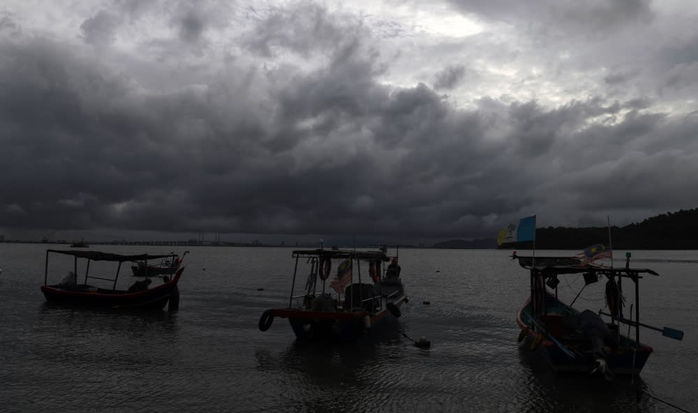
The Meteorological Department reported that the cool weather is attributed to a powerful high-pressure front originating from China, resulting in a cold wave affecting various regions in South-east Asia.
Thailand is also bracing for cooler temperatures, with forecasts indicating a dip to 3°C in Bangkok and most parts of the country, excluding the southern areas, from December 20 to 25.
“Our wind originates from the Siberian High, so there is a cold spell that is associated with an extra strength high pressure as reported by the Thai Meteorological Department.
“So, since the wind originates from the Siberian High, it will bring extra cold air to the region,” he was quoted as saying.
Prof Azizan explained that the Siberian High, a pressure system identified by the Chinese Academy of Sciences, plays a crucial role in influencing the cool weather in Asia which is closely associated with extreme weather occurrences like cold snaps, fog, and freezing rain.
He also said the ongoing monsoon surge, characterised by continuous rain, strong winds, and rough seas in the South China Sea, is likely to intensify the cold spell by an additional 1°C or 2°C.
Prof Azizan also predicted that the potential cold snap to persist until the end of the month, contingent on various factors.
“By December 29, the surge will decrease in its intensity.
“So, it depends — usually the surge will last for a few days and then we have to wait for a week or so to check its intensity for the next few days,” he was quoted as saying.
Climatologist Fredolin Tangang echoed similar sentiments, suggesting that the meandering of the jet stream and the intrusion of cold air masses could impact Thailand and parts of Malaysia.
“We have experienced a similar situation before in the early part of this year,” he was quoted as saying.
According to weather forecasts, this weather phenomenon resembles conditions experienced earlier in the year, with Malaysia recording temperatures as low as 23°C in certain areas due to gloomy weather and continuous rain.
In 2014, the temperature in Kuala Krai, Kelantan, ranged from 17°C to 18°C, a departure from the normal Malaysian temperature of 32°C to 34°C.
In response to the anticipated weather conditions, Malaysia’s Meteorological Department (MetMalaysia) has issued a severe-level continuous heavy rain warning for several areas in Terengganu and Kelantan.
Its director-general Muhammad Helmi Abdullah indicated that the persistent heavy rain is expected to endure until today.
He said in Kelantan, the affected areas include Tumpat, Pasir Mas, Kota Baru, Jeli, Tanah Merah, Bachok, Machang, Pasir Puteh, and Kuala Krai.
Similarly, in Terengganu, the impacted regions encompass Besut, Setiu, Kuala Nerus, Hulu Terengganu, Kuala Terengganu, Marang, and Dungun.
He said the warning covered several localities across six states — Perlis, Kedah (Langkawi, Kubang Pasu, Kota Setar, Pokok Sena, Padang Terap, Pendang, Sik and Baling), Perak (Hulu Perak), Kelantan (Gua Musang), Terengganu (Kemaman) and Pahang (Jerantut and Kuantan).

